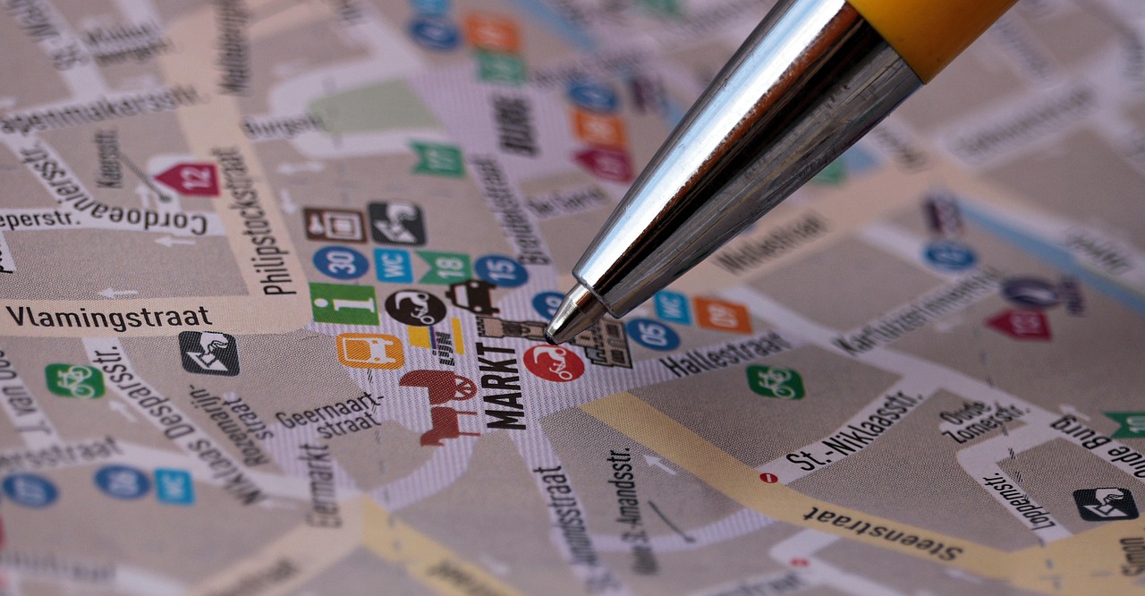
Munich city map: the centre, the districts and the real distances between them
From Marienplatz it is 15 to 20 minutes on foot to the Theresienwiese, and to Schwabing eight minutes by U-Bahn, 25 to 35 minutes on foot. The city in minutes rather than marketing words, and what no official map shows.
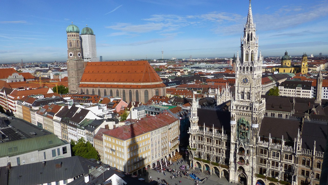
A map of Munich should answer a single question: how far is it from here to there, really. This page answers it in minutes, with a source, rather than in adjectives.
The structure is quickly told. In the middle lies the old town (Altstadt) with Marienplatz, around it a ring of former suburbs, and to the east the river Isar as a natural dividing line. Everything else is a question of journey times.
The map below is interactive. Tap a number for the place name, then Go for the route.
How is Munich laid out?
The core is small. The old town around Marienplatz is the only area that can be called the "centre" without qualification: from there, the major sights are between zero and ten minutes' walk away.
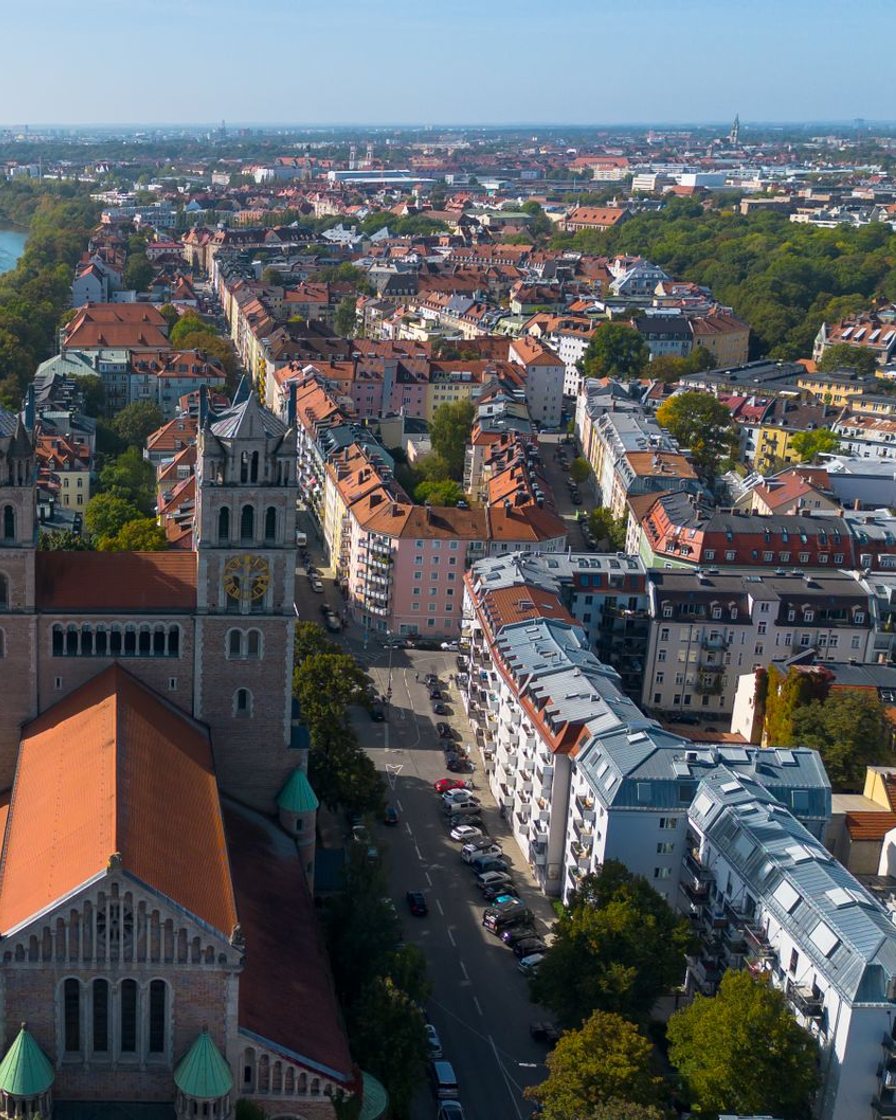
Everything else is a district with its own character and its own distance. To the south-west, the Ludwigsvorstadt with the main station and the Theresienwiese; to the south, the Isarvorstadt with the Glockenbach quarter; to the north, the Maxvorstadt and Schwabing beyond it; to the east, across the Isar, Haidhausen; and in between, the quiet Lehel.
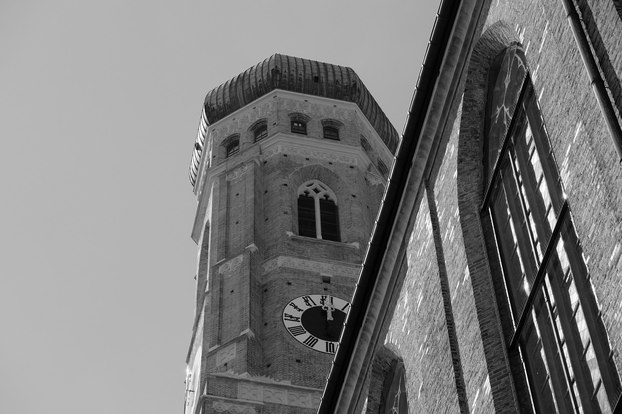
The districts, measured in minutes
The journeys below are surveyed values, not estimates. Where there are two figures, the difference depends on the exact address within the district.
| District | Position relative to Marienplatz | Journey to Marienplatz |
|---|---|---|
| Altstadt (old town) | the core itself | 0 to 10 minutes on foot |
| Lehel | north-east, towards the Isar | About ten minutes on foot |
| Glockenbachviertel | south, Isarvorstadt | About twelve minutes on foot |
| Maxvorstadt | north, museums and university | about 15 minutes on foot |
| Haidhausen | east, across the Isar | Six minutes by S-Bahn, 20 to 30 on foot |
| Schwabing | north, by the English Garden | Eight minutes by U-Bahn, 25 to 35 minutes on foot |
| Theresienwiese | south-west, Ludwigsvorstadt | 15 to 20 minutes on foot |
Two rows of this table explain most planning mistakes. Haidhausen looks far away and is closer by S-Bahn than Schwabing, which looks close and takes half an hour on foot.
Why does "central" in a listing tell you so little?
Because the word has no radius. Strictly speaking, only the old town is central; every other district is ten to twenty minutes' walk or a ride away, and that is rarely stated.
The most common case is Schwabing: hotels advertise "eight minutes to Marienplatz", meaning the U-Bahn travel time alone. Add the walk to the station, the wait and the walk at the other end, and eight minutes become twenty.
The second case is the station district. "A stone's throw from the old town" hides both the walk of more than ten minutes and the fact that the streets right by the main station are the rougher side of the city at night.
If you want to read the map before you book: Munich's districts differ more in journey time than in price, and you only see both side by side on a map. The places to stay in Munich in map view can be checked street by street against the table above, instead of trusting the word "central".
See Munich on the map →Affiliate link: a booking through this link supports the site, at no extra cost to you.
The Isar divides the city, but not the way you think
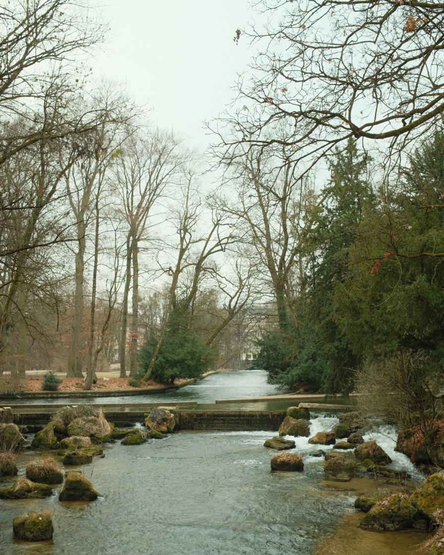
The Isar runs south to north through the city and separates the old town from the east. Lehel and Haidhausen sit on opposite banks, which makes them seem further apart than they are.
In practice the river is above all a place to unwind: riverside paths, lawns and bridges you can cross on foot in a few minutes. Staying in the east costs you no time, just a different route.
The English Garden as a second landmark
North of the old town, the English Garden (Englischer Garten) stretches far to the north and bounds the Maxvorstadt and Schwabing to the east. It is free to enter and the most reliable place in the city to escape the crowds of the centre.
For finding your way it is more useful than any building: with the park on your right, you are heading north. With it on your left, you are heading towards the centre.
The limits of the official maps
Three things appear on no map, even though they shape a stay:
- The fare zones are not the districts. The MVV divides the area into an inner zone M and rings 1 to 12. A destination can be inside the city and still cost an extra zone.
- There is no price map by district. No public dataset gives average prices per district in Munich, neither for hotels nor for restaurants. If you see one, you are looking at an estimate.
- There is no noise or safety data per district. The available assessments are qualitative. Measured values per district are not published.
Something is still missing on our side too: a district map drawn from open data. Until it is ready, the table above is the more honest picture, because it only contains what was actually surveyed.
The quickest way to get your bearings, in three points
First: Marienplatz is the zero point, and everything else is measured from there. Second: ten to fifteen minutes on foot covers the old town, Lehel and the Glockenbach quarter. Third: everything further is a ride, and a ride takes longer than its travel time.
Further reading
Which district suits which trip is covered in the district guide to where to stay. The journeys between them cost what is listed under tickets and zones, and the maps are in the overview of network maps. And if you are coming by car: parking prices and the low-emission zone.
Sources
Sources: munichtourism.org for the surveyed walking and travel times between districts (2026), wheresleep.com for the location of the Ludwigsvorstadt and the Theresienwiese (2022), cityunscripted.com and visit-paris.info for the descriptions of Westend, Sendling and the station area (2025 and 2026).
Also mvv-muenchen.de for fare zones M and 1 to 12, and muenchen.de for the accessible network maps. The finding that no public price or noise dataset exists per district comes from the same research and is stated here as a gap, rather than replaced by an estimate.
Frequently asked questions
Where is the centre of Munich?
How far is the Theresienwiese from Marienplatz?
Which districts are within walking distance of Marienplatz?
Is a hotel in Schwabing centrally located?
Does the Isar split the city in two?
Sophie Hartinger
Sophie worked at the front desk of a city-centre hotel for five years and answered the same questions about car parks and the U-Bahn every day. She writes the pages she would have liked to hand to her guests. She checks every price with the operator, never in a guidebook.